Padvi
I liked this app very much and I use this app from time to time for my needs.
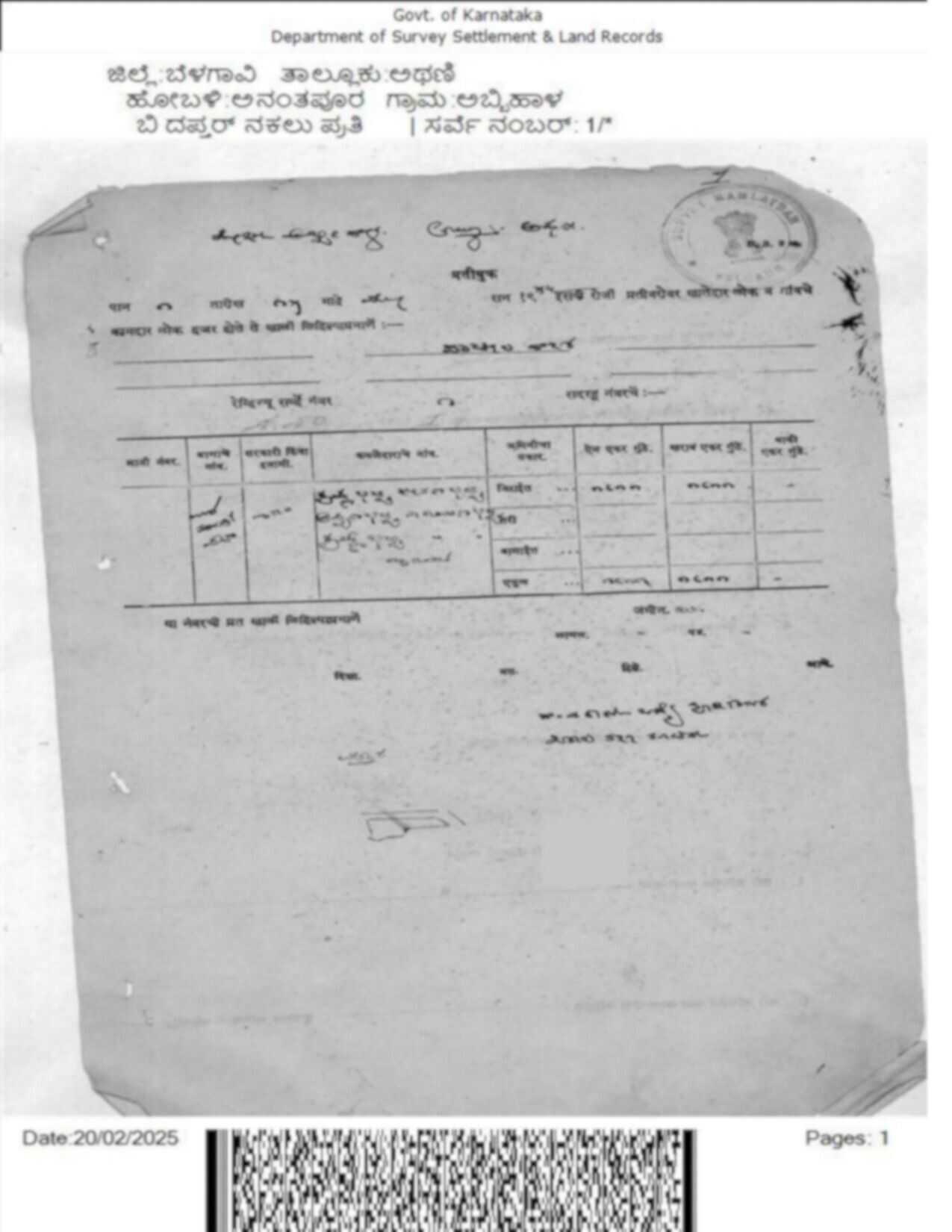
Survey documents in Karnataka are official records that detail the physical boundaries, dimensions, and geographical features of land parcels. These documents are prepared during land surveys.
5 Lakh+
Happy customers
80 Lakh+
Docs downloaded
100%
Safe & secure
15000+
User Consultations
Is a Survey Document legally valid?
Yes, it is an official government record and is legally valid for all land-related matters.
Why is a Survey Document important?
It helps confirm land ownership, settle disputes, facilitate transactions, and obtain necessary government approvals.
Are survey documents required for land conversion?
Yes, survey documents are necessary for converting agricultural land to non-agricultural purposes, as they confirm land boundaries and classification.
What types of survey documents are available in Karnataka?
Karnataka offers a range of survey documents, including:- 1) Survey Sketch: A graphical depiction of land boundaries, 2) Tippan: Detailed records of field measurements, 3) Akarband: A document outlining land classification, 4) Podi: Records of land parcel subdivisions, 5) RTC: Information on land rights and crop patterns, 6) Mutation Record: Details of ownership changes, and 7) Village Map: Comprehensive geographical and administrative features of a village.
What is the difference between survey documents and RTC?
Survey documents focus on land boundaries and physical features, while RTC provides details about ownership, land usage, and crop information for agricultural land.
I liked this app very much and I use this app from time to time for my needs.
I had a good experience with this app and very supportive staff and delivering the documents within time.
Your service and responce are very fast and accurate. Your service is very good.
Very useful. This app and the team has helped me throughout my journey of claiming my land.